Note to tablet users: Some features, such as Youtube videos, may not show up on mobile devices.

Friday, February 14, 2014

Winter Storm of February 2014

The days of hype preceding this storm were interesting. Predictions were all over the place about snow amounts and timing, and the wise meteorologists (now there's an oxymoron) held off with any firm predictions until the last minute. The PYI official snow amount was 10 inches of snow that quickly turned to slush when the rain started. 

This was a snow-to-rain event where temperatures got to 37 degrees by the time the storm was done.  The lull in the storm was about 12 hours before the wraparound band of precipitation showed up as a thunderstorm with a bit of lightning. It turned back to 1/2 inch of snow before clearing up.  A sunny day today helped clear things up to where most roads are dry already.
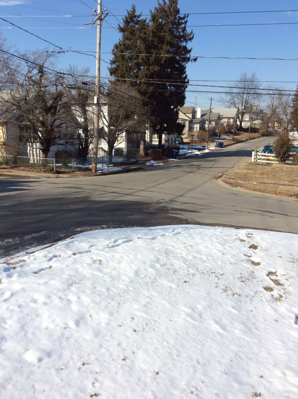

Before


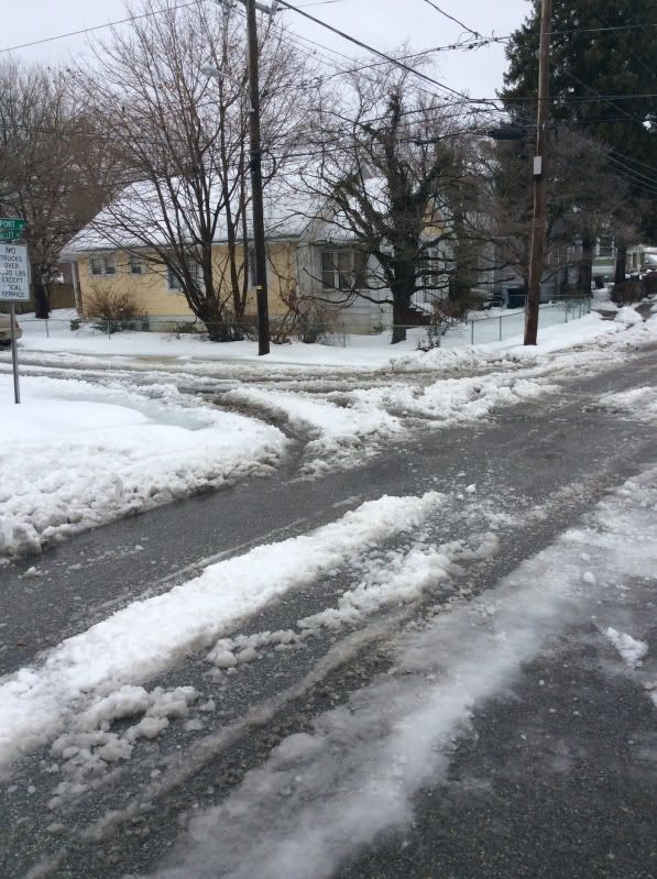
After part 1, before the rainy part 2


Wednesday, February 5, 2014

Ice Flows and Ice Jams

The Mid-Atlantic area of the U.S. experienced an unusually long period of temperatures below freezing. Some shots of area rivers follow.  These were taken after approximately one week of melting after the cold spell.


Photobucket Pictures, Images and Photos
Ducks riding the ice down the river
Photobucket Pictures, Images and Photos
Ice cave formed when melting

Photobucket Pictures, Images and Photos
Morning sun over a major eastern river--slr camera
Photobucket Pictures, Images and Photos
Same shot with iPad
Photobucket Pictures, Images and Photos
Above & below: Ice jam on a smaller river (flows left to right)